VIDEO'S
SAO MIGUEL
AZORES
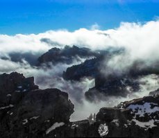
São Miguel Island named for the Archangel Michael or, literally, Portuguese for Saint Michael, is also referred to locally as "The Green Island", is the largest and most populous island in the Portuguese archipelago of the Azores.
THE MYSTERY OF CROP CIRCLES
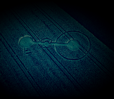
On the night of 14 on 15 july 2016, Robbert van den Broeke, suddenly felt the urge to go to the "special" field between Hoeven and Etten-Leur. At home Robert had seen a clear images in his mind that there will be a crop fields. And surprisingly enough he found not one but two.
THE FLOWER FIELDS OF HOLLAND
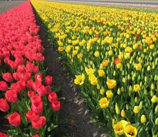
Tulips are inseparable from Netherlands. They need the cold weather to grow. The roots of the tulip are in the mountains of Kazakhstan. Through Persia, China, Turkey and Antwerp the first tulip finally ended around 1593 in the Netherlands.
HEUSDEN
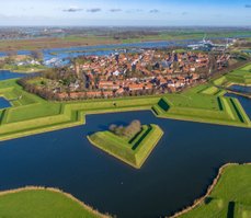
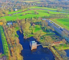
Heusden is a municipality and a town in the South of the Netherlands. It is located between the towns Waalwijk and 's-Hertogenbosch.
HAAGSE BEEMDEN
North of the residential Haagse Beemden, the Mark, begins to have a lovely nature and recreation form. It consists of the Asterdplas, the Haagse Beemdenbos and Fourth Mountain Soul.
OOSTVAARDERSPLASSEN
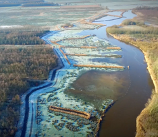
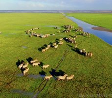
The Oostvaardersplassen is a nature reserve in the Netherlands, which is managed by the State Forestry Service. Covering about 56 square kilometres, it is noted as an example of rewilding.
KINDERDIJK
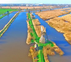
Kinderdijk is a village in the Netherlands, belonging to the municipality of Molenwaard, in the province South Holland, about 15 km east of Rotterdam.
DORST
Dorst is a village in the town of Oosterhout, in the Dutch province of North Brabant. The village has 2510 inhabitants. Dorst is near village Rijen and the nearest towns are Breda, Oosterhout and Tilburg.
MARKDAL
The Markdal located between city Breda and the border with Belgium. Late 60's of last century, the river Mark was channeled. This was done to prevent flooding. Agriculture also had much benefit.
DE LOONSE EN DRUNENSE DUINEN
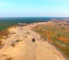
National Park The Loonse en Drunense Duinen is a nature reserve in the Dutch province of North Brabant. It is more than 4000 hectares and is a national park since 2002.
GALDERSE MEREN
The Galdersemeren is an area of recreational lakes south of Breda. Between the two lakes is the highway A58. The largest lake is located south of the highway, and it is the oldest. The area is named after the nearby village Galder.
